 Add Row
  Add
Add 


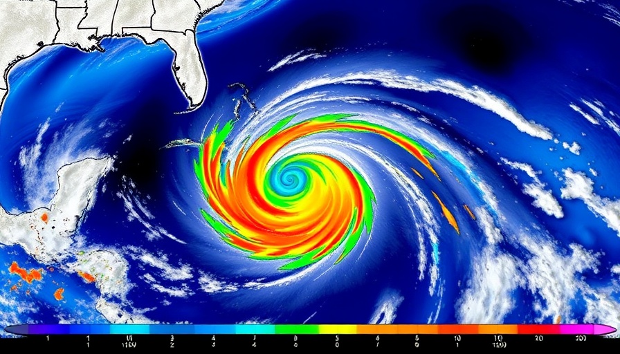
Invest 93L: A Potential Storm on the Horizon
As tropical moisture continues its relentless push toward the Gulf Coast, Invest 93L has emerged as a significant weather event to monitor. Currently, the Orlando area is experiencing heavy rain as this system develops, raising concerns for heavy rainfall along key corridors, particularly Interstate 10. According to the National Hurricane Center (NHC), the system has a 40% chance of evolving into a tropical depression within the next two days.
Impacts Across the Gulf Coast
The Gulf Coast communities, especially those in Alabama, Mississippi, and Louisiana, are bracing for increased rainfall as the system moves westward. The NHC has highlighted the region's warm waters and favorable atmospheric conditions, emphasizing a medium chance of tropical development. Such development may not significantly alter forecasts but will likely enhance flooding risks.
Forecast and Flash Flooding Risks
This week, Flash Flood Watches are already active in Louisiana, with rainfall totals projected between 3 to 6 inches and local amounts possibly reaching a foot. The threat of severe weather lurks, including waterspouts and tornadoes in any strong storms that develop. Two primary forecast pathways are under consideration for Invest 93L, each carrying distinct implications for the region.
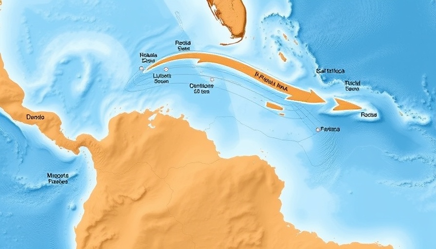
Potential Paths of Development
The first suggested path indicates the system could remain close to land, potentially limiting cyclone development but still delivering heavy rains and squally weather to coastal cities like Panama City, Mobile, and New Orleans. The second potential track sees the system traveling further into the Gulf, providing it with more time to organize. This scenario could lead to a stronger storm but might also reduce overall rainfall along the coast except where the storm makes landfall.
The Bigger Picture: What’s at Stake
As residents prepare for the impacts of Invest 93L, the broader implications of tropical developments in the Gulf cannot be overlooked. Tropical storms and hurricanes have devastating effects on local economies, infrastructure, and community safety. Increased awareness and preparedness are crucial for mitigating these impacts, especially in areas prone to flooding.
The upcoming days will be crucial in determining Invest 93L's path and potential threat level. Local authorities and meteorological teams remain on high alert as more data becomes available from Hurricane Hunter aircraft that will conduct surveys over the system, potentially shaping the forecast.
Your Role During Tropical Events
For individuals residing along the Gulf Coast, understanding the information surrounding weather events like Invest 93L is vital. Services available include local government alerts and updates from the National Hurricane Center, which provide critical information on storm developments and safety measures. Knowledge is power when it comes to weather preparedness; stay informed, and take action where necessary.

 Add Row
  Add
Add 
Write A Comment