

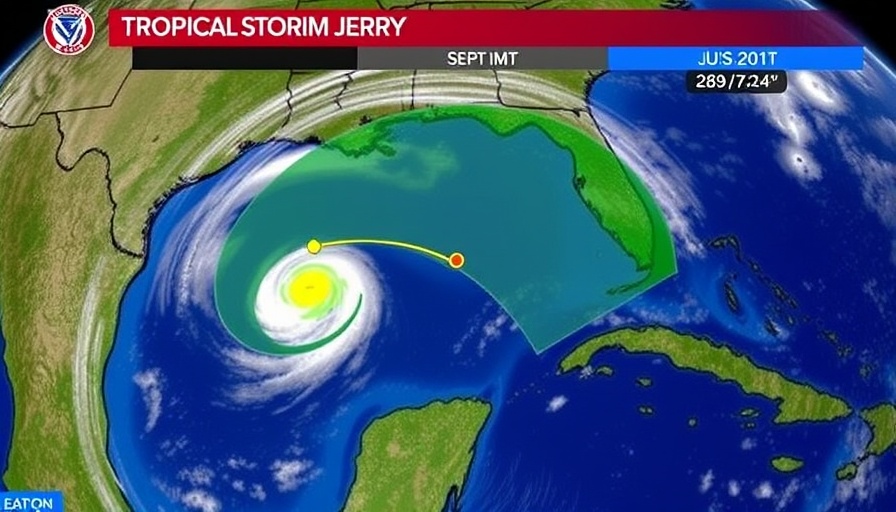
The Unfolding of Tropical Storm Jerry
Tropical Storm Jerry continues to spin in the Atlantic, bringing heavy rainfall and potential flash floods to the Leeward Islands. With maximum sustained winds near 50 mph, there’s a possibility for slow strengthening over the weekend. Tracking just north of the Leeward Islands, forecasters anticipate that Jerry will move northwest at 17 mph, making a turn toward the north by Friday night.
Current Weather Warnings and Precautions
Residents in affected areas need to prepare for rainfall totals ranging from 2 to 6 inches across different regions, with Barbuda set to receive the highest amounts. As the storm generates swells, dangerous surf and rip current conditions are expected, affecting the coastal regions significantly.
In light of Jerry’s potential to escalate, the National Oceanic and Atmospheric Administration advises keeping disaster supplies ready. This includes ensuring that homes are insured adequately for potential flooding, especially since home insurance policies often don’t cover flood damage.
The Path of Jerry: Insights and Predictions
The latest forecasts indicate that while Jerry may struggle to gain hurricane strength due to wind shear, its trajectory could carry it near the Mid-Atlantic coast. This has sparked concerns about significant impacts like localized flooding and beach erosion. By the weekend, Jerry could still impact the U.S. East Coast even if it does not develop into a hurricane, leaving residents on high alert.
What to Expect Over the Weekend
As Jerry shifts its position, it could aggravate weather conditions, bringing strong winds and rain to many areas along the coast. Forecast models have shown variations in its path and intensity, preparing residents for several inches of rain, especially in low-lying zones.
Why Monitoring Jerry Is Critical
Whether or not Jerry intensifies into a hurricane, understanding its journey is crucial for the Gulf Coast and East Coast residents. Historical patterns show that storms like Jerry can change trajectories unexpectedly, and early preparation might be the difference between safety and disaster.
This is not just about tracking wind speeds; it’s about staying informed and ready to act if necessary. Checking in with the National Hurricane Center provides valuable updates that can help residents make informed decisions for their safety and property.
Conclusion
While Tropical Storm Jerry is currently causing concerns across the Leeward Islands, its potential impact on the East Coast is becoming clearer. Watching Jerry's development closely is essential for those in its path. Ensure that emergency plans are in place and stay updated with local weather alerts as the storm progresses.


Write A Comment